Dátový katalóg geoPresovRegion
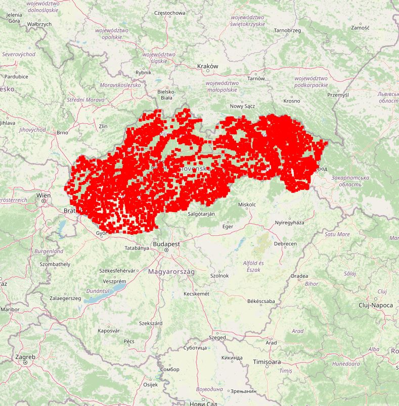
Definičné body obcí Slovenska
Definičný bod obce - ťažisko osídlenia obce.
Dátový súbor bol vytvorený spojením údajov z OpenStreetMap (bodová vrstva sídel) s údajmi zo ZB GIS (kódy obcí a okresov), následním očistením datasetu od sídlisk a mestských/obecných lokalít, ktoré boli súčasťou datasetu z OpenStreetMap a následným priradením geografických súradníce (zemepisná širka -Y, dĺžka -X). Správnosť údajov garantovaná na 99,9%.
Dataset je vytvorený pôvodne pre Národné centrum zdravotníckych informácií za účelom automatického priraďovania výskytu nových pacientov s ochorením COVID-19 do mapy.
Simple
- Date (Publication)
- 2020-11-05
- Citation identifier
- 925c058f-85fd-4f7f-bd96-21546dda27bc
- Status
- Completed
- Point of contact
-
Organisation name Individual name Electronic mail address Role Prešovský samosprávny kraj - autor/vlastník údajov
Inštitút rozvoja PSK
Author Prešovská univerzita v Prešove
PU, Katedra geografie a aplikovanej geoinformatiky
Processor
- Maintenance and update frequency
- Irregular
-
Keywords
-
-
definičné body
-
obec
-
- Use constraints
- Other restrictions
- Other constraints
-
Creative Commons Attribution 4.0 International (CC BY 4.0)
- Access constraints
- Other restrictions
- Other constraints
- Bez obmedzenia prístupu
- Spatial representation type
- Vector
- Denominator
- 25000
- Language
- Slovak [SK]
- Character set
- UTF8
- Topic category
-
- Location
))
- Supplemental Information
-
You can customize the template to suit your needs.
You can add
and remove fields and fill out default information (e.g. contact
details).
Fields you can not change in the default view may be accessible in the
more
comprehensive (and more complex) advanced view. You can even use the
XML editor
to create custom structures, but they have to be validated by the
system, so
know what you do :-)
- Reference system identifier
- EPSG:3857
- Distribution format
-
Name Version gml+xml 3.2
- OnLine resource
-
Protocol Linkage Name OGC:WMS-1.3.0-http-get-map
https://geopresovregion.sk/geoserver/wms geo-psk:definicne_body_obci_sk
WWW:DOWNLOAD-1.0-http--download
https://geopresovregion.sk/geoserver/geo-psk/ows?service=WFS&version=1.0.0&request=GetFeature&typeName=definicne_body_obci_sk&outputformat=SHAPE-ZIP WWW:DOWNLOAD-1.0-http--download
https://geopresovregion.sk/geoserver/geo-psk/ows?service=WFS&version=1.0.0&request=GetFeature&typeName=definicne_body_obci_sk&outputformat=SHAPE-ZIP&srsName=EPSG:5514 OGC:WFS
https://geopresovregion.sk/geoserver/wfs geo-psk:definicne_body_obci_sk
- Hierarchy level
- Dataset
Conformance result
- Alternate title
-
Commission Regulation (EU) No 1089/2010 of 23 November 2010 implementing Directive 2007/2/EC of the European Parliament and of the Council as regards interoperability of spatial data sets and services
- Date (Publication)
- 2010-12-08
- Explanation
-
Viď Nariadenie Komisie (EÚ) č. 1089/2010
- Pass
- No
- Statement
-
Povinné - vyplniť / Mandatory (INSPIRE)
Metadata
- File identifier
- 925c058f-85fd-4f7f-bd96-21546dda27bc XML
- Metadata language
- Slovak [SK]
- Character set
- UTF8
- Hierarchy level
- Dataset
- Date stamp
- 2024-04-30T12:54:11.399124Z
- Metadata standard name
-
ISO 19115:2003/19139
- Metadata standard version
-
1.0
- Metadata author
-
Organisation name Individual name Electronic mail address Role Prešovský samosprávny kraj - kontakt
Inštitút rozvoja PSK - GIS tím
Point of contact
Overviews
Spatial extent
Provided by