Dátový katalóg geoPresovRegion
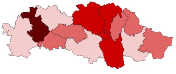
Ekonomicky aktívne obyvateľstvo (okresy)
Ekonomicky aktívne obyvateľstvo (počet v jednotkách).
Ekonomicky aktívne obyvateľstvo - je skupina ľudí, ktorí sú zamestnaní alebo nezamestnaní a sú schopní nastúpiť do práce počas nasledujúcich 14 dní a aktívne sa podieľajú na hľadaní si práce. Zobrazené údaje v mape sú za rok 2018 ku koncu obdobia.
Po kliknutí nižšie na "pridať k mape" je možné priestorovo zobraziť ekonomicky aktívne obyvateľstvo podľa okresov.
Najznámejšie pracovne portály: www.profesia.sk, www.istp.sk.
Údaje sú dostupné od januára 2019 a sú aktualizované mesačne - okresná úroveň.
Zdroj: Ústredie práce, sociálnych vecí a rodiny SR.
---English---
Economically active people (number in units).
Economically active population - is a group of people who are employed or unemployed but are able to start work withim 14 days and are actively looking for a job. The map data shown is 2018 at the end of the period.
For displaying economically active population by districts in a map, please click on "add to map" below.
The most popular work portal: www.profesia.sk, www.istp.sk.
Data available since January 2019 and are updated monthly - district level.
Source: Central Office of Labour, Social Affairs and Family of SR.
Simple
- Date (Revision)
- 2020-04-01
- Citation identifier
- 92192e5c-cb30-42fd-857d-b35196ada918
- Status
- On going
- Point of contact
-
Organisation name Individual name Electronic mail address Role Ústredie práce, sociálnych vecí a rodiny SR
Ústredie práce, sociálnych vecí a rodiny SR
Author
- Maintenance and update frequency
- Monthly
- Use constraints
- Other restrictions
- Other constraints
-
Creative Commons Attribution 4.0 International (CC BY 4.0)
- Access constraints
- Other restrictions
- Other constraints
- Bez obmedzenia prístupu
- Spatial representation type
- Vector
- Denominator
- 50000
- Language
- Slovak [SK]
- Character set
- UTF8
- Topic category
-
- Society
))
- Reference system identifier
- EPSG:3857
- Distribution format
-
Name Version gml+xml 3.2
- OnLine resource
-
Protocol Linkage Name OGC:WMS-1.3.0-http-get-map
https://geopresovregion.sk/geoserver/wms geo-psk:lo_eao_districts
OGC:WFS
https://geopresovregion.sk/geoserver/wfs geo-psk:lo_eao_districts
- Hierarchy level
- Dataset
Conformance result
- Alternate title
-
Commission Regulation (EU) No 1089/2010 of 23 November 2010 implementing Directive 2007/2/EC of the European Parliament and of the Council as regards interoperability of spatial data sets and services
- Date (Publication)
- 2010-12-08
- Explanation
-
Viď Nariadenie Komisie (EÚ) č. 1089/2010
- Pass
- No
- Statement
-
Povinné - vyplniť / Mandatory (INSPIRE)
Metadata
- File identifier
- 92192e5c-cb30-42fd-857d-b35196ada918 XML
- Metadata language
- Slovak [SK]
- Character set
- UTF8
- Hierarchy level
- Dataset
- Date stamp
- 2021-09-22T05:38:58
- Metadata standard name
-
ISO 19115:2003/19139
- Metadata standard version
-
1.0
- Metadata author
-
Organisation name Individual name Electronic mail address Role Prešovský samosprávny kraj - kontakt
Inštitút rozvoja PSK - GIS tím
Point of contact
Overviews
Spatial extent
Provided by